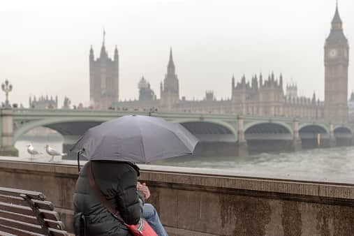
UK weather: Cold snap underway with first snow of winter set to arrive - when will it snow & forecast
and live on Freeview channel 276
A cold snap is set to arrive, bringing an end to the Indian summer enjoyed in many parts of the UK this past week. According to the Met Office, the weather will turn much cooler by the weekend with further rain anticipated for the rest of the week and a yellow warning covering large parts of England and Wales. The UK has seen unusually warm weather recently, with highs reaching 25.8 in Kew Gardens, west London on Sunday (October 8) - making it the warmest October day in five years. However, in the next few days, the north parts of the UK will experience colder conditions, with some snow likely for Scottish mountains, the Met Office said.
The forecasters also said all parts of the UK will turn much cooler by the weekend, with daytime temperatures potentially up to 10C colder than earlier this week across southern England. The first widespread overnight frost of the season is also likely across many central and northern areas over the weekend. Met Office spokesman Grahame Madge said: “On Wednesday night, there may potentially be some frosts and much colder than average conditions, which might be a shock for northern parts of Britain because we’ve had this relatively warm air across most of the UK. There will be an increasing tendency towards cooler conditions, however in the southern parts of England and Wales we’ve got the prospect of heavy rain coming in.
Advertisement
Hide AdAdvertisement
Hide Ad“We’re saying there is a significant rain warning from 9pm on Thursday through to midnight on Friday, and we can expect 20 to 30mm in some places in a couple of hours. Even up to 50, 60 or possibly up to 70mm across the high ground of Wales, these are significant amounts. Once that warning expires, we’ve got another shift in our weather pattern where we’re getting a more northerly flow coming in. That will introduce much cooler conditions, six degrees below average, which given the fact a few days ago we were talking about conditions six or so degrees above average, will feel like a marked contrast. We’ve got the prospect on Saturday of early frost in some sheltered northern areas, even some snowfall over the Scottish mountains.”
UK 5-day weather forecast
Wednesday (October 11)
Rain, heavy at times, will affect Wales and central England. Remaining brighter and warmer in the far south, but with fog patches at first. Sunny spells and some blustery showers elsewhere and feeling cooler.
Overnight, cloudy with outbreaks of rain, heavy at times, affecting the south of England and Wales. Clearer and cooler to the north of this with a frost likely in places.
Thursday (October 12)
Mostly dry and sunny for northern parts of the UK with some showers in the far northwest. Cloudy with outbreaks of rain to the south, though easing into the afternoon.


Outlook for Friday (October 13) to Sunday (October 15)
Unsettled on Friday with heavy rain and strong winds. Becoming drier and brighter into Saturday and Sunday, though with showers for some. Turning colder, especially overnight with winds easing.
Comment Guidelines
National World encourages reader discussion on our stories. User feedback, insights and back-and-forth exchanges add a rich layer of context to reporting. Please review our Community Guidelines before commenting.
