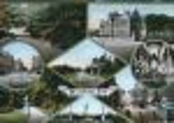
PEEK INTO THE PAST: Picture postcard view of historic Burnley


Unfortunately, the image you see today is not taken from the original. It is copy of a postcard and, therefore, there are no details on the back of the publisher, printer or date when it was made available.
There are a few clues about the date, the most important of which is that there is a photo of Burnley’s Technical Institute in the top right corner. This is the building which we, for most of our lives, have known as Burnley College. It is situated in Ormerod Road and was built in 1909 by Burnley Corporation. In the picture the building looks very new so I suspect the card dates from somewhere around 1909.
Advertisement
Hide AdAdvertisement
Hide AdThe other images on the postcard constitute an interesting, but perhaps unrepresentative, selection of views of Burnley about 100 years ago. You will notice, however, there are no industrial scenes. The larger national postcard makers did their best to exclude factories and mill chimneys from images of the towns in which they operated. Of course, this was not always possible but it is understandable as the card makers felt they could sell pleasant views of a town or city more easily than they could most commercial scenes.
There are exceptions to this. The docks and harbours of ports and fishing towns were often shown on postcards and famous factories or early industrial estates sometimes featured in the work of some photographers. These were then published by some of the card makers as they knew there was more than a local market for scenes like these.
Fortunately, we do have old postcards which show industrial views. As might be expected, there are a number of Burnley and I have used quite a few in this column. I have noticed, though, that these images were often taken and made into cards by local photographers who possibly felt they wanted a representative portfolio of local scenes to show a town “warts and all”, as Cromwell famously once put it.
This card is a mixture of some of the more obvious things that make up a town – its parks, shopping centre, parish church and local college. Burnley Town Hall appears on the view of Manchester Road, bottom right and something of historic interest, the Foldys Cross, is there, bottom left.
Advertisement
Hide AdAdvertisement
Hide AdAll together, four parks are detailed – Queen’s Park, Scott Park, Towneley Park and Thursby Gardens – though a small part of what was to become Thompson Park can be seen in the picture which is really of the technical institute.
The images of these parks are not all that representative of the parks themselves. With regard to Thursby Gardens all that can be seen is the entrance to Station Approach which I mentioned last week.
The view of Queen’s Park, in the middle of the card, shows more of the park keeper’s house than it does of the park and there were much more interesting parts of Scott Park than the one shown. I think we can rightly say that, apart from the Towneley scene, the photographer, when working on Burnley’s parks, did not do them justice but you can see that, when the picture was taken, as now, the town’s parks were well cared for.
The roundel, which includes an image of St Peter’s Church, is unusual as it is of the interior of the building. Often it is the fine exterior of the parish church which appears on postcards but the view published here reminds us the interior of St Peter’s is worthy of attention.
Advertisement
Hide AdAdvertisement
Hide AdThe same can be said today as St Peter’s, which is open regularly to the public, really does contribute to the understanding of the history of our town. These days there is an excellent historical exhibition on display at the base of the tower but, when the picture was taken, the church, largely because of its architecture and the family memorials on display in its chapels and nave, must have been attractive to worshipers and visitors alike.
Notice the two street scenes. Both are of town centre locations, St James’s Street and Manchester Road. The former shows the middle part of St James’s Street with St James’s Hall almost in the middle of the picture and the shops at the top of Market Street on the left. This was one of the main shopping areas in Burnley in the early 20th Century, perhaps only second to Market Street and the Market Hall.
I realise this is a matter of opinion but, to me, Manchester Road has long since been Burnley’s most attractive street and there can be few major roads into any town in England as impressive as this. Here we see Manchester Road, from the junction with St James’s Street, looking up the road to the town hall and beyond. My favourite view of Burnley is the one from the Waggoner’s looking across the town to Pendle Hill. The vastness of the hills around the town make Burnley appear to be very small but, on a clear day, there is nothing quite like it. I knew I was home when this scene came in to view when I was on the bus coming back from university.
Of all the composite postcard views of Burnley I think this is my favourite. It does not show the town’s more impressive buildings, but it does reveal much about our town and, whoever put the composition together, did a pretty good job. I hope you agree.