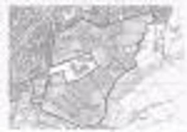
Heasandford new tip plan - map


The Heasandford site, identified as BWF 21, is outlined in red and completely surrounds the new Sir John Thursby Community College. The area, extending from Harle Syke to beyond Bancroft Road, embraces the whole of the Heasandford industrial estate and skirts Lydgate, Horning Crescent, Minehead and Torquay Avenues and along Eastern Avenue beyond the cricket ground before following tracks and paths back through woods and fields back to Harle Syke.
The map is part of the Joint Lancashire Mineral and Waste Development Plan Document open for public scrutiny until Monday, February 21st.
Advertisement
Hide AdAdvertisement
Hide AdIt covers the whole of Lancashire. The plan is on a dedicated consultation website, on which it is possible to make comments on screen, as well as sending emails or letters. The plan document contains policies which set out the criteria against which future applications will be considered.


The consultation will be followed by an examination in public, scheduled for September 2011, when a planning inspector from the Department of the Environment will hear evidence and decide whether to give the plan the go-ahead.