Pendle historian's new book uses laser scanning to uncover landscape history of East Lancs


Hillforts, Homesteads and Habitats in the East Lancashire Pennines by John A Clayton covers an area of 340 square kilometres extending northwards from the River Irwell to the River Ribble, looking all the way back to the period between 2,500 BC to the end of the Roman era in 410 AD when the foundations of East Lancashire were laid
"The rural landscape of scattered farms and villages that we see today is not very different to the landscape occupied by the early settlers," said John. "In fact, a surprising number of modern-day farms stand on the footprint of ancient farming sites occupied by the builders of the hillforts.
Advertisement
Hide AdAdvertisement
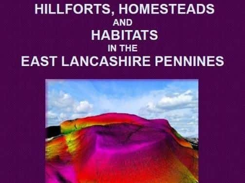
Hide AdLooking back at the history of East Lancshire though the lens of hillforts - areas of land fully enclosed by substantial walls, ditches, and banks - homesteads - enclosed farmsteads and small villages - and habitats - open landscapes around the hillforts and homesteads of the early farming pioneers - the book uses laser scanning LiDAR technology to reveal a highly detailed aerial view of the ground surface.
"Bronze Age and Iron Age societies were based upon farming and trading, with a few battles and skirmishes thrown in to keep the warrior elite amused," explained John. "The earlier Bronze Age farm settlement system was expanded through the Iron Age to an extent where the Roman invaders could capitalise on native farming output to feed their Legions in Britain and to export a surplus of food to the Continent.
"So, if the countryside was as populated as archaeology suggests we might expect that there would have been a large number of surviving hillforts within our area," he added. "In truth, East Lancashire can boast of only two classified hillforts: overlooking the Whalley Gap we have Portfield and, to the south of Colne, is Castercliffe."
Where, then, have all the hillforts gone? Fortunately, we are now able to address the mystery of the missing ancient sites, with Hillforts, Homesteads and Habitats of the East Lancashire Pennines offering detailed evidence for around seventy previously unrecognised hillforts, hill settlements, enclosed Bronze Age farmsteads and villages, burials and Romano-British sites.
Advertisement
Hide AdAdvertisement
Hide AdPublished by Barrowford Press on May 1st, the book offers LiDAR images and layout-plans for each site along with maps, illustrations, and history, and is available from the Pendle Heritage Centre in Barrowford and Junction 12 Outlet in Brierfield and online at www.amazon.co.uk and www.barrowfordpress.co.uk.